 Manding Kingdom: All Data
This page is about the data available for this polity; the chronology of its events is available here.
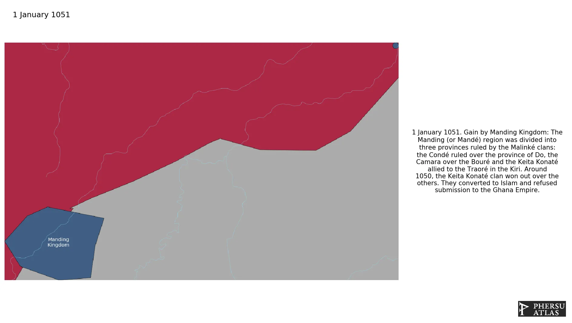
The Manding region (located between southern Mali and eastern Guinea) was divided into three provinces ruled by the Malinké clans: the Condé ruled over the province of Do, the Camara over the Bouré and the Keita Konaté allied to the Traoré in the Kiri. Around 1050, the Keita Konaté clan won out over the others creating the Manding Kingdom.
1. Genealogy

2. Maps of Political Control Over Time
 Manding Kingdom : Map showing the initial year each territory was ruled by the polity
Manding Kingdom : Maximal Extension of the Polity
Manding Kingdom : Map showing the initial year each territory was ruled by the polity
Manding Kingdom : Maximal Extension of the Polity
3. Monthly Summaries

4. Time Series
 Manding Kingdom : Time Series of all Territorial Changes
Manding Kingdom : time series of its population and area throughout history
Manding Kingdom : Time Series of all Territorial Changes
Manding Kingdom : time series of its population and area throughout history
