 Samtskhe-Saatabago (Ottoman Empire): All Data
This page is about the data available for this polity; the chronology of its events is available here.
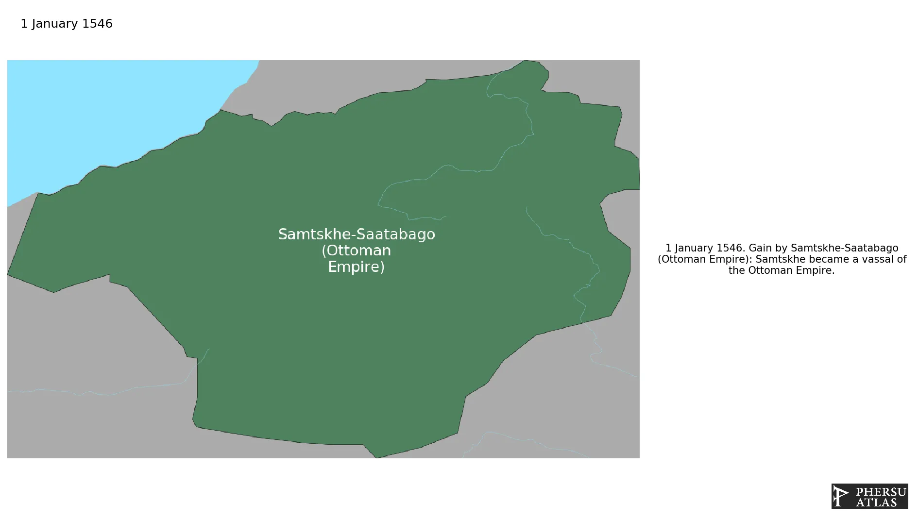
Was a Georgian feudal principality. Its territory consisted of the modern-day Samtskhe-Javakheti region and the historical region of Tao-Klarjeti. As a result of a dispute with the royal Georgian court, the province of Samtskhe seceded. In 1545 Samtskhe became vassal of the Ottoman Empire.
1. Genealogy

2. Maps of Political Control Over Time
 Samtskhe-Saatabago (Ottoman Empire) : Map showing the initial year each territory was ruled by the polity
Samtskhe-Saatabago (Ottoman Empire) : Maximal Extension of the Polity
Samtskhe-Saatabago (Ottoman Empire) : Map showing the initial year each territory was ruled by the polity
Samtskhe-Saatabago (Ottoman Empire) : Maximal Extension of the Polity
3. Monthly Summaries

4. Lists and Timelines
5. Rankings
 Samtskhe-Saatabago (Ottoman Empire) : Top wars ordered by largest reached area
Samtskhe-Saatabago (Ottoman Empire) : Top wars by territorial gain or loss in terms of area of the changes
Samtskhe-Saatabago (Ottoman Empire) : Top wars by territorial gain or loss in terms of area difference
Samtskhe-Saatabago (Ottoman Empire) : Top wars ordered by largest reached area
Samtskhe-Saatabago (Ottoman Empire) : Top wars by territorial gain or loss in terms of area of the changes
Samtskhe-Saatabago (Ottoman Empire) : Top wars by territorial gain or loss in terms of area difference
6. Time Series
Samtskhe-Saatabago (Ottoman Empire) : Time Series of all Territorial Changes
Samtskhe-Saatabago (Ottoman Empire) : time series of its population and area throughout history
7. All Events mentioned in Territorial Changes
 Conquests of Suleiman I (Ottoman)
Ottoman-Safavid War (1578-1590)
Conquests of Murad III
Ottoman-Safavid War (1603-1618)
Conquests of Suleiman I (Ottoman)
Ottoman-Safavid War (1578-1590)
Conquests of Murad III
Ottoman-Safavid War (1603-1618)
