 Marca Geronis (East Francia): All Data
This page is about the data available for this polity; the chronology of its events is available here.
Was a vast march in the middle of the tenth century, located in eastern Germany. It was divided into a multitiude of marches in 965.
1. Genealogy

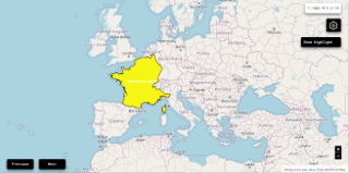
2. Maps of Political Control Over Time
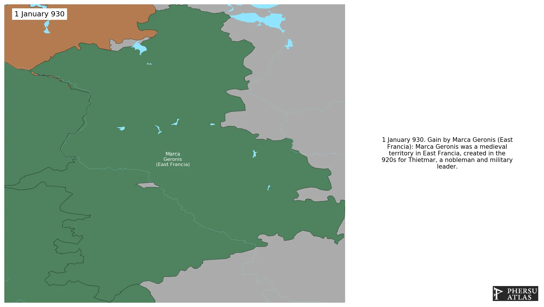
 Marca Geronis (East Francia) : Map showing the initial year each territory was ruled by the polity
Marca Geronis (East Francia) : Maximal Extension of the Polity
Marca Geronis (East Francia) : Map showing the initial year each territory was ruled by the polity
Marca Geronis (East Francia) : Maximal Extension of the Polity
3. Monthly Summaries

4. Lists and Timelines
5. Rankings
 Marca Geronis (East Francia) : Top wars ordered by largest reached area
Marca Geronis (East Francia) : Top wars by territorial gain or loss in terms of area of the changes
Marca Geronis (East Francia) : Top wars by territorial gain or loss in terms of area difference
Marca Geronis (East Francia) : Top wars ordered by largest reached area
Marca Geronis (East Francia) : Top wars by territorial gain or loss in terms of area of the changes
Marca Geronis (East Francia) : Top wars by territorial gain or loss in terms of area difference
6. Time Series
Marca Geronis (East Francia) : Time Series of all Territorial Changes
Marca Geronis (East Francia) : time series of its population and area throughout history
7. All Events mentioned in Territorial Changes

8. All Cities mentioned in Territorial Changes
 Arnstein
Jena
Lobenstein
Naumburg
Gommern
Parchim
Wettin-Löbejün
Halle (Saale)
Köthen
Merseburg
Gera
Havelberg
Gera
Zerbst
Plauen
Zeitz
Landsberg
Pritzwalk
Kayna
Ziesar
Rathenow
Leipzig
Altenburg
Wittstock
Zwickau
Brandenburg an der Havel
Waldenburg
Wittenberg
Hartenstein
Wurzen
Lehnin
Colditz
Leisnig
Chemnitz
Zinna
Torgau
Demmin
Wolkenstein
Potsdam
Jüterbog
Oschatz
Freiberg
Berlin
Dahme
Meißen
Köpenick
Finsterwalde
Dresden
Dohna
Prenzlau
Lübben
Hoyerswerda
Cottbus
Budissin
Guben
Görlitz
Arnstein
Jena
Lobenstein
Naumburg
Gommern
Parchim
Wettin-Löbejün
Halle (Saale)
Köthen
Merseburg
Gera
Havelberg
Gera
Zerbst
Plauen
Zeitz
Landsberg
Pritzwalk
Kayna
Ziesar
Rathenow
Leipzig
Altenburg
Wittstock
Zwickau
Brandenburg an der Havel
Waldenburg
Wittenberg
Hartenstein
Wurzen
Lehnin
Colditz
Leisnig
Chemnitz
Zinna
Torgau
Demmin
Wolkenstein
Potsdam
Jüterbog
Oschatz
Freiberg
Berlin
Dahme
Meißen
Köpenick
Finsterwalde
Dresden
Dohna
Prenzlau
Lübben
Hoyerswerda
Cottbus
Budissin
Guben
Görlitz