A Global Historical Atlas covering 5,000 Years
PHERSU ATLAS covers the entire World day by day from January the 1st 3499 BC to November the 20th 2022 AD.
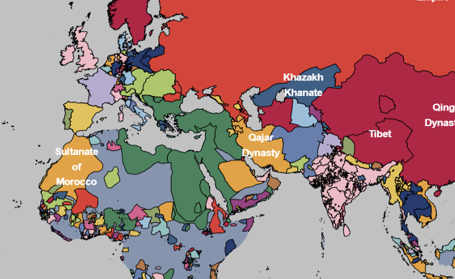
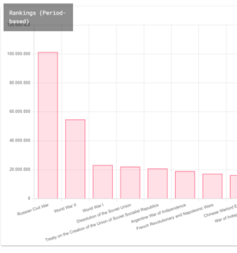
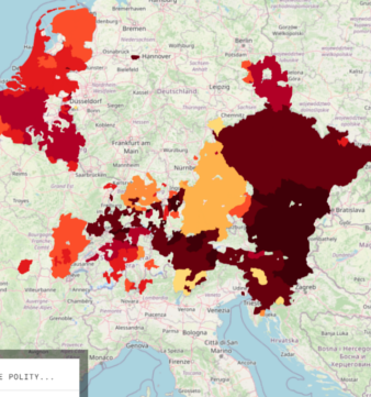
Consolidated Historical Statistics
Based on the collected data, Phersu shows statistics like demographic maps, anachronous control maps, time series of areas and population, and many more for over 8,000 known polities.
Detailed Regional Maps.
In addition to a global atlas, phersu includes detailed regional and thematic sections like "Middle East", "Subsaharian Africa", "Europe", "German Confederations", and many more.
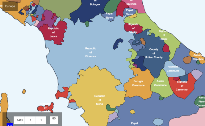
More than 4 Millions of individual Metrics
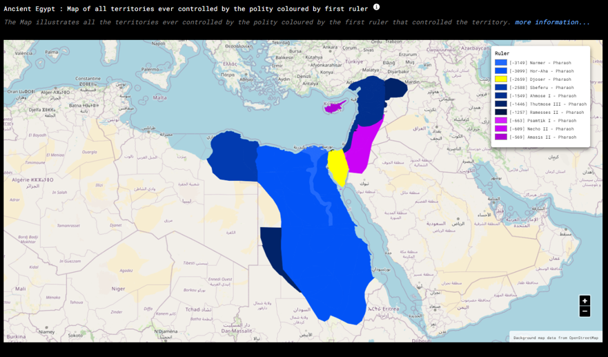
The metrics include anachronous maps of control, time series with explanations of territorial changes, comparison of former polities with modern-day borders, and many more.
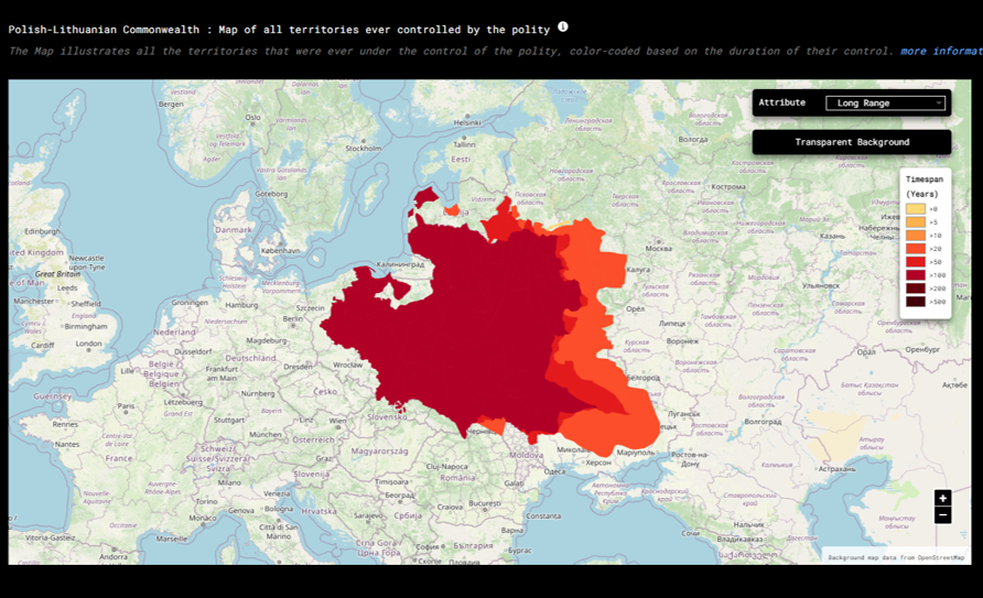
A highly interactive tool
The data of Phersu Atlas is interactive. In global and regional atlases polities can be clicked to see additional information. Points in time series can be clicked to see the causes of territorial changes. Map metrics can be clicked to get information about polities, rulers, cities...
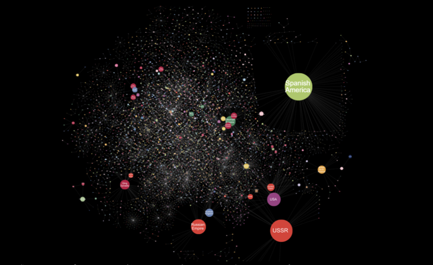
A galaxy of information
Phersu Atlas covers thousands of polities, group of polities, succession of polities, thousands of rulers, thousands of cities. The data is highly interconnected.
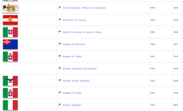
Discover the relationship of cities to polities and events throughout History
Phersu Atlas includes metrics listing the polities cities were part of, or the wars that took place in these cities, and even lists of cities per modernd-day country with their old names.
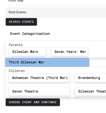
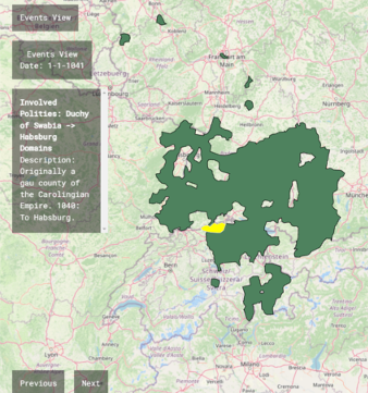
Navigate by Events
Phersu includes functions to filter territorial changes among thousands of categorized wars or by polity or by both, and to navigate among their descriptions chronologically.
Plans offered by PHERSU ATLAS
First Exploration of History Data.
- Global Atlas for January the 1st of all years since 1800 AD (low detail)
- Snapshots of Phersu Atlas Objects (Polities, Clusters, Groups, Rulers, Cities...)
For users that want to see a high-detailed Historical Atlas.
- All Political Maps (global and regional)
For Events Explorers.
- All Political Maps (global and regional)
- Interactive Summaries of Wars and Polities
For Data Lovers.
- All Political Maps (global and regional)
- Interactive Summaries of Wars and Polities
- More than 4 Million statistics
We provide discounts for schools and universities. Contact sales@phersu-atlas.com